
The Hereford Map
A Transcription and Translation of the Legends with Commentary
by S.D. Westrem

Hardback (Out of print)
(June 2001)
ISBN: 9782503510569
Price: $120.00
On back order
The Hereford Map, a depiction of the inhabited world drawn around 1300, is among the largest surviving examples of medieval mappamundi. It measures 1.59 meters by ca. 1.30 meters (52 1/2 inches by c. 52 inches). On it appear some 1,091 inscriptions, or legends; most of these are placed adjacent to a painted figure of what they identify. They range from simple place-names to long descriptions containing historical, ethnographical, theological and zoological information. The book’s introduction offers essential background on the Map’s history, sources, and scholarship. Particularly important is an explanation of its close relationship to a text recently discovered – Expositio mappe mundi – a work most composed a century before the Map was made. Right-facing pages contain, for each legend: (1) an exact line-for-line transcription, (2) an edited version of this transcription, and (3) an English translation. Left-facing pages offer commentary on each legend, giving information about its literary and cartographical source, the item it identifies, and textual problems. Included in the book is a colour illustration of the entire Map (approximately 40% of its actual size), as well as detail photographs, taken in January 2001 under special conditions, enabling readers to see each legend precisely, as well as to locate all transcribed and translated text. Because of its thorough examination of all aspects of the Map, this book is a tribute to the richest, most complicated surviving example of medieval cartography, as well as an essential tool about medieval culture.
The Hereford Map, a depiction of the inhabited world drawn around 1300, is among the largest surviving examples of medieval mappamundi. It measures 1.59 meters by ca. 1.30 meters (52 1/2 inches by c. 52 inches). On it appear some 1,091 inscriptions, or legends; most of these are placed adjacent to a painted figure of what they identify. They range from simple place-names to long descriptions containing historical, ethnographical, theological and zoological information. The book’s introduction offers essential background on the Map’s history, sources, and scholarship. Particularly important is an explanation of its close relationship to a text recently discovered – Expositio mappe mundi – a work most composed a century before the Map was made. Right-facing pages contain, for each legend: (1) an exact line-for-line transcription, (2) an edited version of this transcription, and (3) an English translation. Left-facing pages offer commentary on each legend, giving information about its literary and cartographical source, the item it identifies, and textual problems. Included in the book is a colour illustration of the entire Map (approximately 40% of its actual size), as well as detail photographs, taken in January 2001 under special conditions, enabling readers to see each legend precisely, as well as to locate all transcribed and translated text. Because of its thorough examination of all aspects of the Map, this book is a tribute to the richest, most complicated surviving example of medieval cartography, as well as an essential tool about medieval culture.
- By (author) SD Westrem
Other Titles in this Series


 Le peintre et la carte. Origines et essor de la vue figuree entre Rhone et Alpes (XIVe-XVe siecle)
Volume 14

 Catalan Maps and Jewish Books
The Intellectual Profile of Elisha ben Abraham Cresques (1325-1387)
Volume 15


Similar Books


 Balthasar Caymox of Nuremberg
Early Modern German Print Publishers: Popular Prints of the Seventeenth Century
 Beyond Sovereign Courts
Agents and Practices in Early Modern Spanish and Habsburg Diplomacy
Volume 3

 Circulation, Use, Impact
The Consumption of Architectural Books in the Early Modern Eastern Adriatic
Volume 1

 Councils, Conflicts, Correspondence
Urban Diplomacy in Reval (Tallinn) and Lübeck (c. 1470–1570)
Volume 67


 Innovationes Lovanienses: Arts, Law and Theology at the University of Louvain (1425–1797)
Studium Lovaniense: Learning across Borders, 2
Volume 18

 Legal Visuality
Exegesis, Ambiguity, and Dissimulation of the Donation of Constantine in the Early Modern Period

 Naples as Laboratory / Laboratorium Neapel
Style Options, Artistic Rivalry and Self Fashioning in Neapolitan Baroque Painting / Plurale Stilbildung, Kunstlerkonkurrenz und Self Fashioning in der neapolitanischen Barockmalerei
 Power and Women in Southeast and Central Europe in Late Medieval and Early Modern Period (1300-1600)
Volume 10


 Staging the Spectacle of Majesty
Ceremonial, Courtly Space, and Collecting under the Spanish Habsburgs
Volume 9
 Students, Scholars and Their Books at the University of Louvain (1425-1797)
Studium Lovaniense: Learning across Borders, 1
Volume 17


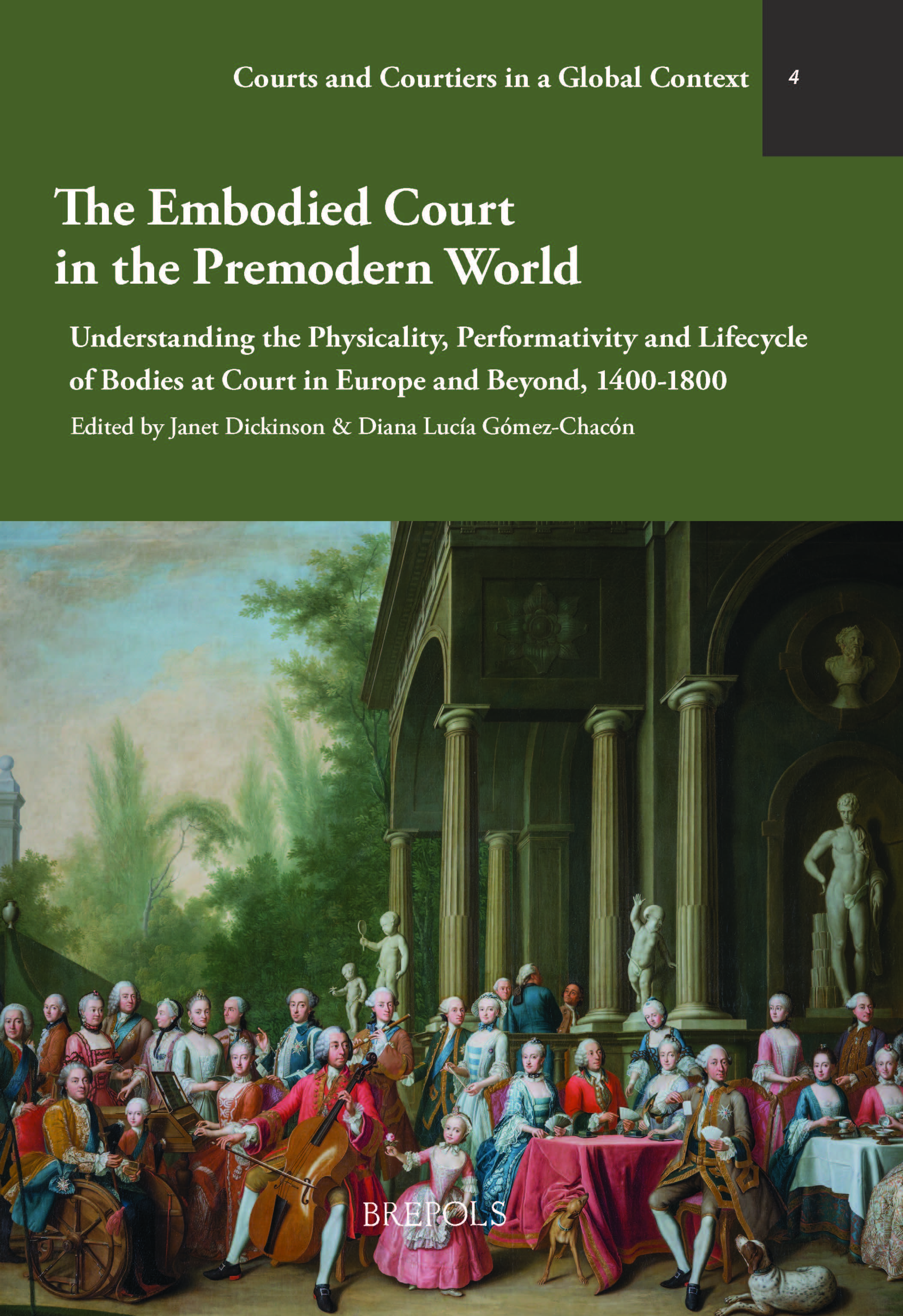 The Embodied Court in the Premodern World
Understanding the Physicality, Performativity and Lifecycle of Bodies at Court in Europe and Beyond, 1400-1800
Volume 4

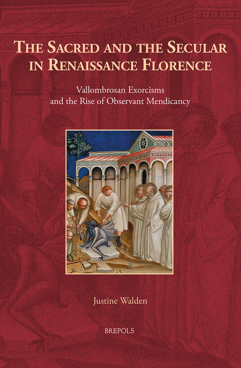 The Sacred and the Secular in Renaissance Florence
Vallombrosan Exorcisms and the Rise of Observant Mendicancy
Volume 31
 Tradition, Interpretation, and Change
Developments in the Liturgy of Medieval and Early Modern Ashkenaz


 À la recherche des normes de traduction
Textes spécialisés dans le monde hispanophone et francophone (1450–1850)

 Briefe einer Fürstin aus dem Dreißigjährigen Krieg
Die Korrespondenz der Kaiserin Maria aus den Jahren 1629 bis 1645

 Die Lutherbibel (1541) des Seidenstickers Hans Plock
Eine buchbiographische und kulturhistorische Untersuchung
Volume 89
