
Urbanism of Roman Siscia
Interpretation of Historical and Modern Maps, Drawings and Plans
By (author) Tatjana Lolić

Paperback (Published)
(April 2022)
ISBN: 9781789696233
8.07 x 11.42 inches
Price: $56.00
In stock
By processing data from every archaeological excavation, and analysis and interpretation of all available historical and modern documents, this volume presents a thorough overview of the structure of Roman Siscia (modern day Sisak, Croatia) and provides a comprehensive starting point for all future work on the Roman city.
Urbanism of Roman Siscia: Interpretation of historical and modern maps, drawings and plans presents a comprehensive picture of the structure of Roman Siscia. The information has been obtained from the processing of the data from every archaeological excavation, and the analysis and interpretation of all available historical and modern documents. The position of Siscia at the confluence of the rivers Sava, Kupa and Odra below the present-day town of Sisak, is documented in the antique literary sources and in cartography through the Middle Ages, to modern times, when the site became the subject of archaeological excavations beginning in the second part of the 19th century. In the 19th century and the first decades of the 20th century, the basic outline of Roman Siscia was identified with town walls, public buildings, shrines, water supply system, cemeteries and the main roads that connected the city with other Roman towns. An older settlement, Segestica, dating from prehistory, was identified on the right bank of the Kupa River. The excavations carried out from the 1950s to 1990s were connected with the construction of the infrastructure and development of modern Sisak. These excavations confirmed the basic elements of the perimeter and urban elements of Roman Siscia: a Roman ditch and the town wall were discovered in several places, as well as an orthogonal street network, public buildings, houses, and other elements of the Roman city. This volume provides a comprehensive starting point for all future work on the Roman city.
Foreword 1. Introduction 2. Location and urban topography of siscia according to literary sources 3. History of the archaeological research 3.1. Excavations in the 19th and the first half of the 20th century 3.2. Archaeological research in the period 1945-1979 3.3. Archaeological research in the period 1980-2020 3.4. Similar works (syntheses) 4. Cartographic sources 4.1. Classical and medieval cartography featuring symbolical depictions of Siscia 4.2. Cartography of Luigi Ferdinando Marsigli 4.3. Cartography in the 18th to 20th centuries 5. Archaeological interpretation 5.1. Block 1: Bana Jelacica Sq.-V. Nazora Promenade-S. S. Kranjcevica St 5.2. Block 2: S. S. Kranjcevica St-A. i S. Radica St-I. Kukuljevica Sakcinskog St- Rimska St-setnica 5.3. Block 3: A. i S. Radica St-S. S. Kranjcevica St - I. Kukuljevica Sakcinskog St-A. Starcevica St 5.4. Block 4: A. i S. Radica St-A. Starcevica St-I. Kukuljevica Sakcinskog St-F. Lovrica St 5.5. Block 5: I. Kukuljevica Sakcinskog St-A. i S. Radica St-Matije Gupca St-Ljudevita Posavskog Sq 5.6. Block 6: A. i S. Radica St-I. Kukuljevica Sakcinskog St-A. Starcevica St-Ljudevita Posavskog Sq.-Matije Gupca St 5.7. Block 7: A Starcevica St- I. Kukuljevica Sakcinskog St- Matije Gupca St-F. Lovrica St 5.8. Block 8: Rimska St-Matije Gupca St-Ljudevita Posavskog Sq.-A. i S. Radica St-Frankopanska St 5.9. Block 9: A. i S. Radica St-Ljudevita Posavskog Sq.-A. Starcevica St-Matije Gupca St- Frankopanska St 5.10. Block 10: A. Starcevica St-Frankopanska St-Matije Gupca St- F. Lovrica St 5.11. Block 11: Frankopanska St-Rimska St-N. sipusa St-Biskupa Kvirina St 5.12. Block 12: Kralja Zvonimira St-N. sipusa St-F. Hefelea St-Biskupa Kvirina St-the Segestica factory premises 5.13. Block 13: the Kupa River from the Odra Bridge to the Old Bridge 5.14. Block 14: Pogorelec (the right bank of the Kupa)-the Old Bridge-J. J. Strossmayera St-the New Bridge 5.15. Block 15: Sisak Novi, J. J. Strossmayera St-A. Cesarca St-I. Gundulica St 5.16. Block 16: Pogorelec, the west part 6. Conclusion 6.1. Modern context of the site, the state of research and documentation 6.2. Early development of the urban area of Siscia 6.3. Developed town matrix of the Flavian period 6.4. Development of administrative and public functions during Antonine dynasty 6.5. The status of Siscia and major construction projects in the period of Severan dynasty 6.6. The capital of the Roman province of Pannonia Savia Literary sources Bibliography, Foreword ;
1. Introduction ;
2. Location and urban topography of siscia according to literary sources ;
3. History of the archaeological research ;
3.1. Excavations in the 19th and the first half of the 20th century3.2. Archaeological research in the period 1945–19793.3. Archaeological research in the period 1980–20203.4. Similar works (syntheses) 4. Cartographic sources ;
4.1. Classical and medieval cartography featuring symbolical depictions of Siscia4.2. Cartography of Luigi Ferdinando Marsigli4.3. Cartography in the 18th to 20th centuries 5. Archaeological interpretation ;
5.1. Block 1: Bana Jelačića Sq.–V. Nazora Promenade–S. S. Kranjčevića St5.2. Block 2: S. S. Kranjčevića St–A. i S. Radića St–I. Kukuljevića Sakcinskog St– Rimska St–Šetnica5.3. Block 3: A. i S. Radića St–S. S. Kranjčevića St – I. Kukuljevića Sakcinskog St-A. Starčevića St5.4. Block 4: A. i S. Radića St–A. Starčevića St–I. Kukuljevića Sakcinskog St–F. Lovrića St5.5. Block 5: I. Kukuljevića Sakcinskog St–A. i S. Radića St–Matije Gupca St–Ljudevita Posavskog Sq5.6. Block 6: A. i S. Radića St–I. Kukuljevića Sakcinskog St–A. Starčevića St–Ljudevita Posavskog Sq.–Matije Gupca St5.7. Block 7: A Starčevića St– I. Kukuljevića Sakcinskog St– Matije Gupca St–F. Lovrića St5.8. Block 8: Rimska St–Matije Gupca St–Ljudevita Posavskog Sq.–A. i S. Radića St–Frankopanska St5.9. Block 9: A. i S. Radića St–Ljudevita Posavskog Sq.–A. Starčevića St–Matije Gupca St– Frankopanska St5.10. Block 10: A. Starčevića St–Frankopanska St–Matije Gupca St– F. Lovrića St5.11. Block 11: Frankopanska St–Rimska St–N. Šipuša St–Biskupa Kvirina St5.12. Block 12: Kralja Zvonimira St–N. Šipuša St–F. Hefelea St–Biskupa Kvirina St–the Segestica factory premises5.13. Block 13: the Kupa River from the Odra Bridge to the Old Bridge5.14. Block 14: Pogorelec (the right bank of the Kupa)–the Old Bridge–J. J. Strossmayera St–the New Bridge5.15. Block 15: Sisak Novi, J. J. Strossmayera St–A. Cesarca St–I. Gundulića St5.16. Block 16: Pogorelec, the west part 6. Conclusion ;
6.1. Modern context of the site, the state of research and documentation6.2. Early development of the urban area of Siscia6.3. Developed town matrix of the Flavian period6.4. Development of administrative and public functions during Antonine dynasty6.5. The status of Siscia and major construction projects in the period of Severan dynasty6.6. The capital of the Roman province of Pannonia Savia Literary sources ;
Bibliography
- By (author) Tatjana Lolić
'T. Lolić’s book can be considered a fundamental work for the study of Pannonian cities. The author presents the urban structure of Siscia, its layout and the buildings investigating so far, based on the completeness of the data. We can only praise the research that has been carried out in the difficult conditions of urban excavation, since the modern city was built on the site of the Roman colonia. The work presents important stages of the urban development of Siscia well documented, with a series of colour photographs.' – Dénes Gabler (2023): Acta Archaeologica Academiae Scientiarum Hungaricae 74
—
Other Titles in this Series


 The Changing Landscapes of Rome’s Northern Hinterland
The British School at Rome’s Tiber Valley Project


 Un insediamento di età romana dimenticato nel tempo
Rinvenimenti e ricerche archeologiche a Tezze di Arzignano e nella vallata dell'Agno-Guà (Vicenza)

 Immagini del tempo degli dei, immagini del tempo degli uomini
Un’analisi delle iconografie dei mesi nei calendari figurati romani e bizantini e del loro contest storico-culturale


 Villas, Sanctuaries and Settlement in the Romano-British Countryside
New Perspectives and Controversies


 Roman and Late Antique Wine Production in the Eastern Mediterranean
A Comparative Archaeological Study at Antiochia ad Cragum (Turkey) and Delos (Greece)

Similar Books

 Caesar’s Visions and Impact on the Roman Empire
Revisiting the Archaeological and Historical Record of the 40s BC
Volume 2


 Drunk the Potion, No Whit Charmed
The Doctrine of Pure and Perfect Souls from Iamblichus to Damascius

 Epiphanies of the Divine in the Septuagint and the New Testament
Fifth International Symposium of the Corpus Judaeo-Hellenisticum Novi Testamenti (CJHNT), 14-17 May 2015, Nottingham


 Etruscan and Roman Hellenistic Anatomical ex votos
Reassessing Popular Religious Expressions in Central Italy
Volume 8




 Invisible Labour in Antiquity
Visualizing Obscure Work in the Ancient Mediterannean and West Asia
Volume 1
 Language and Power in the Roman Empire and Early India
Hierarchy, Ambiguity, and the Art of Reading the Signs in Cosmopolitan Cultures
 Late Antique villae in the Balkans (3rd–7th c. AD): Current Research Questions and Perspectives
HAEMUS Companion to the Late Antique Balkans 1
Volume 4

 Nurturing the Elite
Representations of Drinking, Eating, and Religious Vessels in Palmyrene Funerary Iconography
Volume 13


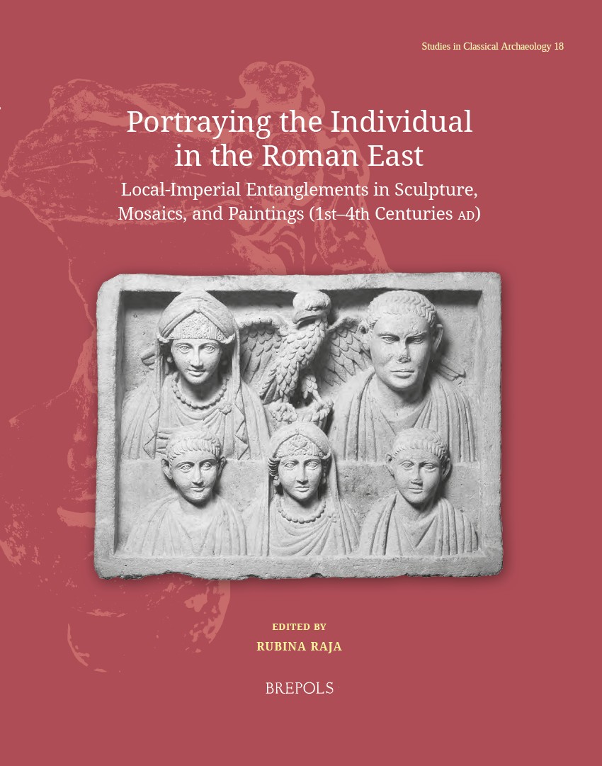 Portraying the Individual in the Roman East
Local–Imperial Entanglements in Sculpture, Mosaics, and Paintings (First–Fourth Centuries AD)
Volume 18

 Small Worlds and Relational Agencies: Local Societies in Early Medieval Iberia
Pequeños mundos y Agencias relacionales: Sociedades locales altomedievales en la Península Ibérica
 The Compositional History of the Book of Kings
An Analysis of the Evaluative Frameworks in 1 Kings 14–2 Kings 25

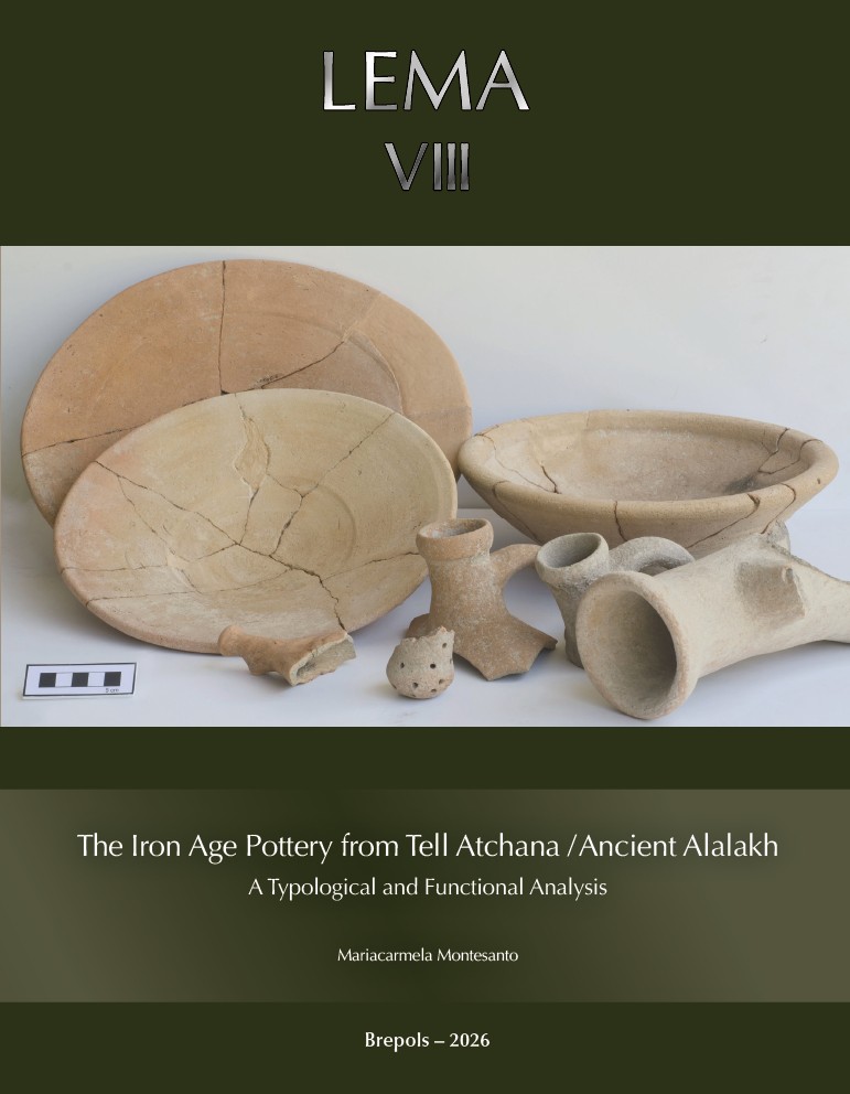 The Iron Age Pottery from Tell Atchana / Ancient Alalakh
A Typological and Functional Analysis
Volume 8

 Writing in the Church of the Nativity in Bethlehem
Inscription and Graffiti in a Multilingual and Multigraphic Perspective
Volume 45
 Contesting Labeled Identities
The Sociology of Gentilics in Biblical and Northwest Semitic Literature


 After Life in Roman Paganism. L’Égypte des astrologues. Les Mages hellénisés
Introductions historiographiques
Volume 7

 Atlante tematico di topografia antica 36-2026
Urbanistica e monumenti, porti, Roma. Ricerche sui monti Aurunci
Volume 36
 Cerámica común romana y ciclo haliéutico
Análisis de los contextos de las cetariae de Iulia Traducta

