
Marcadores gráficos y territorios megalíticos en la Cuenca interior del Tajo: Toledo, Madrid y Guadalajara
By (author) Mª Ángeles Lancharro Gutiérrez

Paperback (Published)
(March 2018)
ISBN: 9781784917975
7.99 x 10.91 inches
Price: $160.00
In stock
The aim of this work is to analyze Late Prehistoric graphical markers, comprising paintings, engravings, Megalithic elements, and other portable objects. The Tajo inner basin (Spain), was chosen for this study due to the lack of scholarship on the subject and the lack of geographical information available for the archaeological sites
The aim of this work is to analyze Late Prehistoric graphical markers, comprising paintings, engravings, Megalithic elements, and other portable objects. All of them can be described as post-paleolithic or Schematic Art over various surfaces. The chosen area, the inland region of the Tajo inner basin (Spain), was especially appealing for several reasons, such as the lack of scholarship on the subject, the lack of information on the geographical location of the archaeological sites, and the extended ignorance about the sites’ materials and relationships. The methodology is based on systematic registration of all archaeological sites. This is studied from an Archaeology Landscape perspective through Geographic Information Systems (GIS) analysis. It tests geographical markers according to their strategic location (pre-eminence and visibility) and their relationship with other funerary, habitable and resources sites. This has allowed parietal surfaces (megaliths, caves, shelters) and mobile pieces to be given coordinate position for the first time in the region, which has demonstrated abundant and complex prehistoric graphical markers. The results achieved allow the extrapolation of settlement models, explained in chapter VI. Generally, shelters divide the territory by geographical units where the settlers have access to a variety of economic resources and transit networks.
- By (author) Mª Ángeles Lancharro Gutiérrez
Similar Books
 A Collaborative Tapestry in Honour of Shirley Ann Brown / Une fresque brodée en l’honneur de Shirley Ann Brown
The Bayeux Tapestry Seen by her Colleagues and Friends / La Tapisserie de Bayeux vue par ses collègues et amis


 Balthasar Caymox of Nuremberg
Early Modern German Print Publishers: Popular Prints of the Seventeenth Century


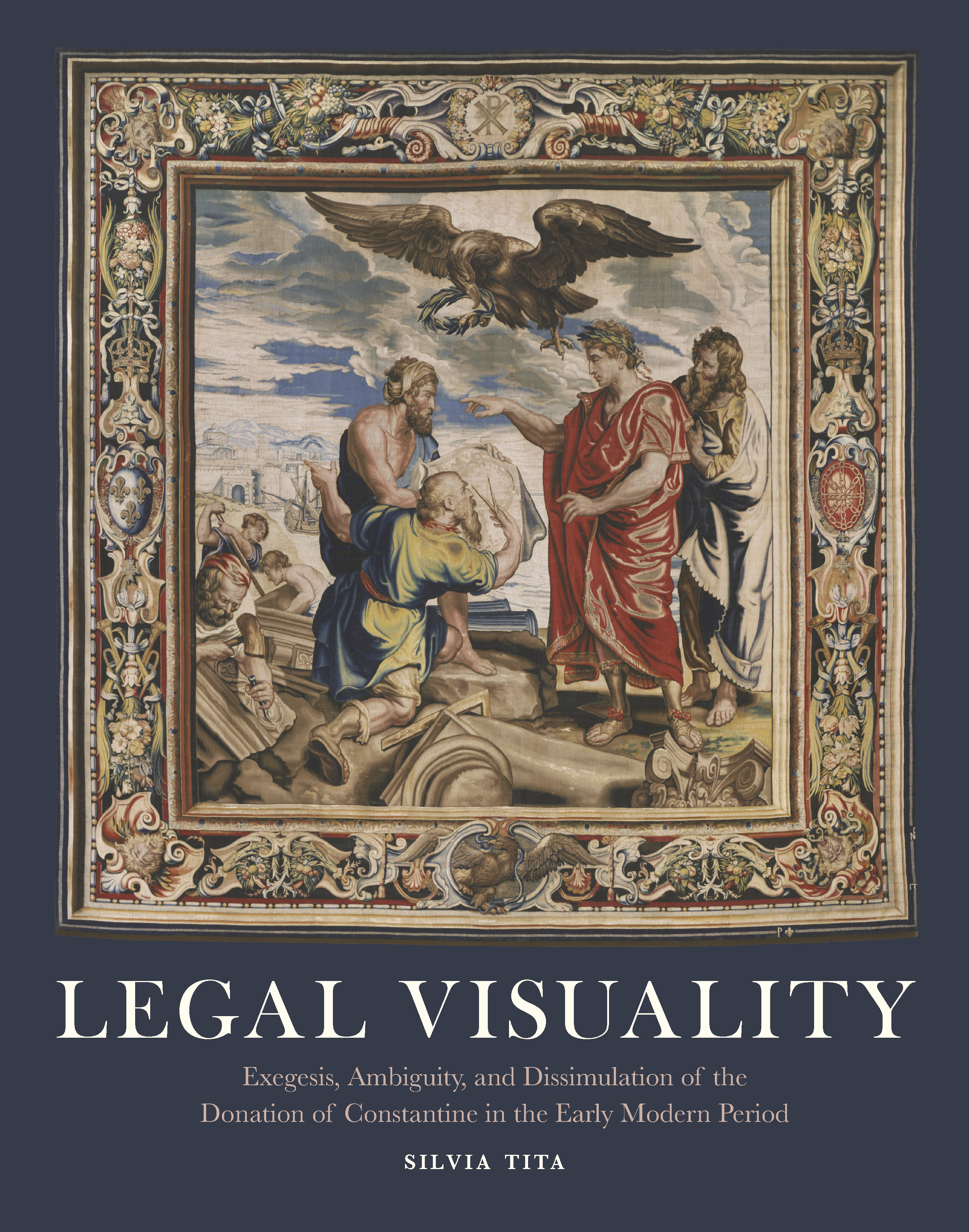 Legal Visuality
Exegesis, Ambiguity, and Dissimulation of the Donation of Constantine in the Early Modern Period
 Making and Meaning in the Bronze and Iron Ages
Chronology, Landscapes and Societies across Europe. Proceedings from the METALAGES2024 Colloquium (Florence, 23 October 2024)


 Monastic Manuscripts from the Eastern Mediterranean (Sinai, Jerusalem, Antioch)
Production, Use, and Contexts
 Naples as Laboratory / Laboratorium Neapel
Style Options, Artistic Rivalry and Self Fashioning in Neapolitan Baroque Painting / Plurale Stilbildung, Kunstlerkonkurrenz und Self Fashioning in der neapolitanischen Barockmalerei
 Nurturing the Elite
Representations of Drinking, Eating, and Religious Vessels in Palmyrene Funerary Iconography
Volume 13


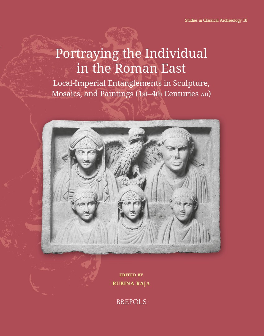 Portraying the Individual in the Roman East
Local–Imperial Entanglements in Sculpture, Mosaics, and Paintings (First–Fourth Centuries AD)
Volume 18




 Technical Studies of Asian Art
Proceedings of the Seventh Forbes Symposium at the Freer Gallery of Art


 Tricks of the Medieval Trades
The Trinity Encyclopedia, a collection of 14th century English craft recipes
 Venice Reimagined
The Resurgence of View Painting in Venice after the Fall of the Serenissima between 1797 and 1866


 Women’s Legacies in Natural Studies, Health, and Liberal Arts
Proceedings of the Second Annual International Women in the Arts Conference
Volume 4